Overhead Scanner
Mach 2's overhead flight tracker. Set your home location, define the sky you care about, and watch planes overhead appear as live snapshots arrive.
Try every setting in the live demoA live window into the traffic above you.
Overhead Scanner is how Mach 2 tracks flights overhead in real time. It uses your saved tracking area, altitude filters, and display preferences to show the planes overhead on the LED matrix — the box publishes your settings, the cloud builds a fresh flight snapshot, and Mach 2 renders the current aircraft list locally.
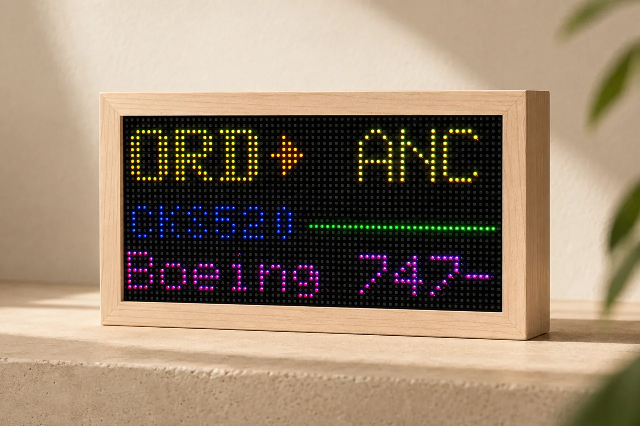
64 × 32 pixels · 3 mm pitch · 192 × 96 mm LED panel
7.56 × 3.78 in before the maple enclosure.
Boundary in, snapshot out.
Your owner portal stores a home point, a tracking boundary, airport code, brightness, and filters. When settings are saved, they reach the box in seconds and the display updates with the next cloud snapshot.
Start with your address.
Use the location search for a simple 20-mile area, pick the 40-mile preset for more traffic, or drag the coverage box on the portal map if you want precise control.
Make the display match your sky.
Adjust brightness, altitude range, distance, aircraft detail fields, and other display preferences from your owner portal — from any device, anywhere.
An overhead flight tracker for your sky.
Instead of opening an app to track flights overhead, you glance at a desk display and see exactly what is flying over your home — a standing overhead flight tracker that quietly updates all day.
Using Overhead Scanner
- Open your owner portal. Go to settings.flighttrackerled.com from any device — your display is already linked to your account from setup.
- Set your location. Search your address or drag the coverage box on the map for a custom boundary.
- Choose filters. Narrow by altitude, distance, and the details you want shown.
- Save settings. The box republishes your settings and the display updates when the next snapshot arrives.
If flights do not show right away
Give it a moment after saving. The box has to publish settings, receive a fresh snapshot, and apply it to the display.
Expand the area. If traffic is light, try the 40-mile preset or a larger custom boundary.
Check filters. A narrow altitude range or distance limit can hide flights that are otherwise available.
Check Wi-Fi and sync. If the portal says the box is waiting for a snapshot, leave it connected and refresh status after a few seconds.